Ruilui Para (Konglak Para) Tourism Information.

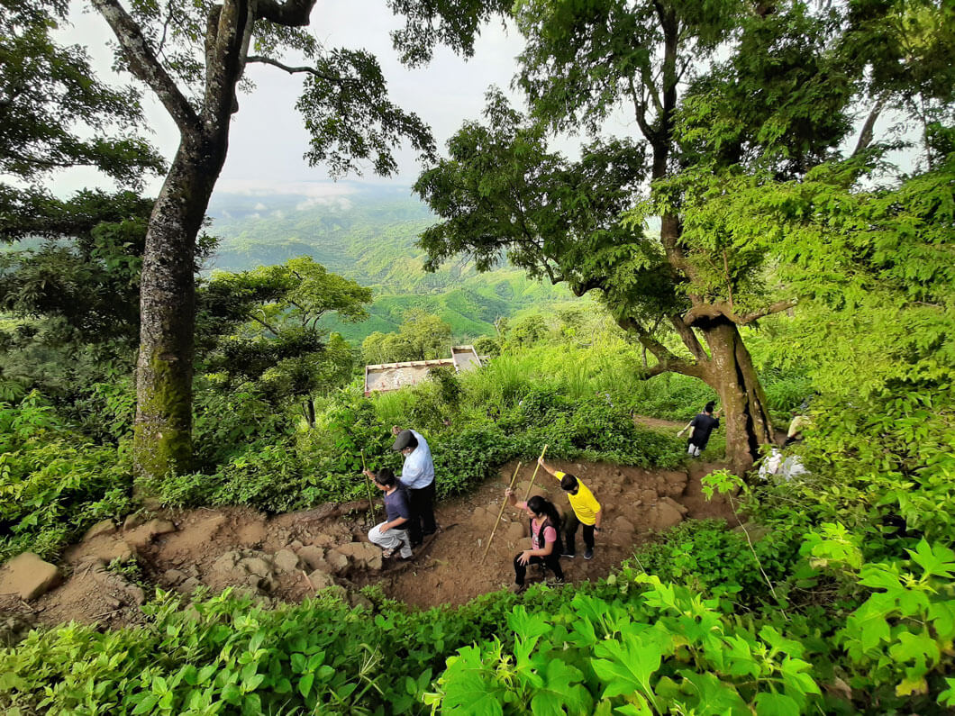
Konglak Para People LifeKonglak Para PictureKonglak Para Treaking
4.6/5

Kanlak Hills is located in Sajek Union under Baghaichhari upazila of Rangamati district in Bangladesh. It is the highest peak in the Sajak Valley. Its height from sea level is about 1800 feet.

Kanlak Para is located on the Kanlak hill. The Sajak Valley consists mainly of Ruilui Para and Kanlak Para. The Lusai Hills are clearly visible from the Konlak Hills. The mountains are green all around and the unadulterated combination of clouds catches the eye.

It has now become a focal point of attraction for Sajek tourists. It is located about two kilometers from RuiLui Para. You have to trek 30 to 40 minutes from Sajek’s Helipad to reach Kanlak Para. The Kanlak Para overlooks the Lusai Hills in India, from which the Karnafuli River originates. The border of the state of Mizoram is quite close, The walking distance is about two hours.

Kanlak hill Naming

Kanlak hill is also known as Kamalak Para. According to local information, It is called Kamala Para because of the large orange groves located on the side of this hill. The Kanlak spring is located at the bottom of the hill . This hill is named after this waterfall.

Konglak Para lifestyle and culture

The small hilltop village is inhabited by Tripura and Lusai Ethnic group. Jum cultivation is the main source of food and income in this area. Yellow ,ginger and orange are mostly cultivated. There is a water crisis in Kanlak.

Each house has multiple and large water reservoirs. Rainwater harvesting is the main source of water in the area. Indigenous people collect rainwater from house sheds, hold reservoirs and carry out daily activities.

Konglak Para Trekking Tips

Older and children are discouraged from climbing as the road is slightly sloping and slippery during the rainy season. As water is scarce in the area, tourists are advised to take water with them.

Query & Call Share Now